Overview
What is a Drone Survey?
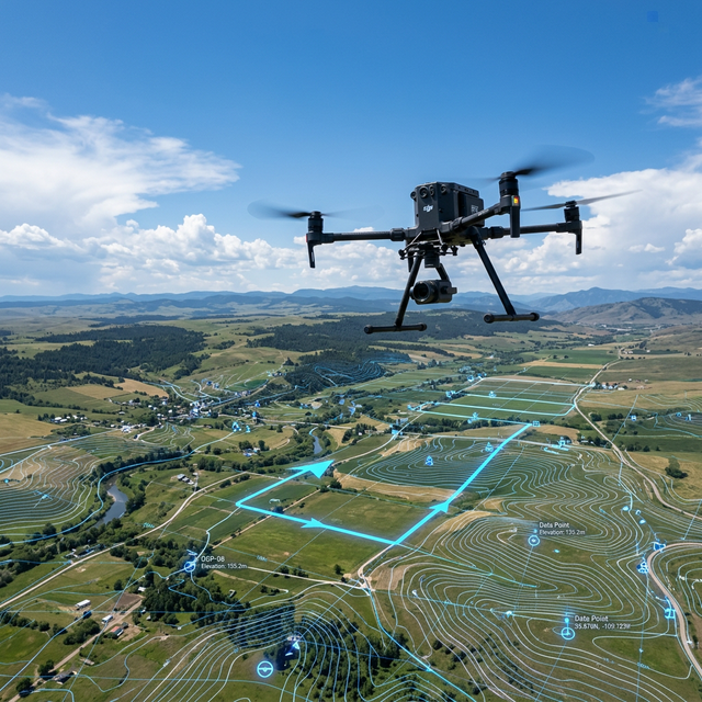
A drone survey uses Unmanned Aerial Vehicles (UAVs) equipped with high-resolution cameras or LiDAR to capture aerial data. By combining these images with Ground Control Points (GCPs) established by DGPS, we process the data using photogrammetry software to create highly accurate 2D maps and 3D models.
Why is it Required?
Drones revolutionize surveying by safely capturing millions of data points across large or inaccessible areas in a fraction of the time taken by traditional methods. It provides unmatched visual context alongside precise measurement data.
Key Benefits
Speed and Efficiency — Surveys hundreds of acres in a single day
Safety — Maps dangerous terrains (mines, steep slopes) without risking personnel
High-Resolution Deliverables — Orthomosaic maps, DEMs, and 3D Point Clouds
Request a Quote
Get expert Drone Survey services.
Get Survey Quote 📞 +91 73977 33223