Overview
What is an Elevation Survey?
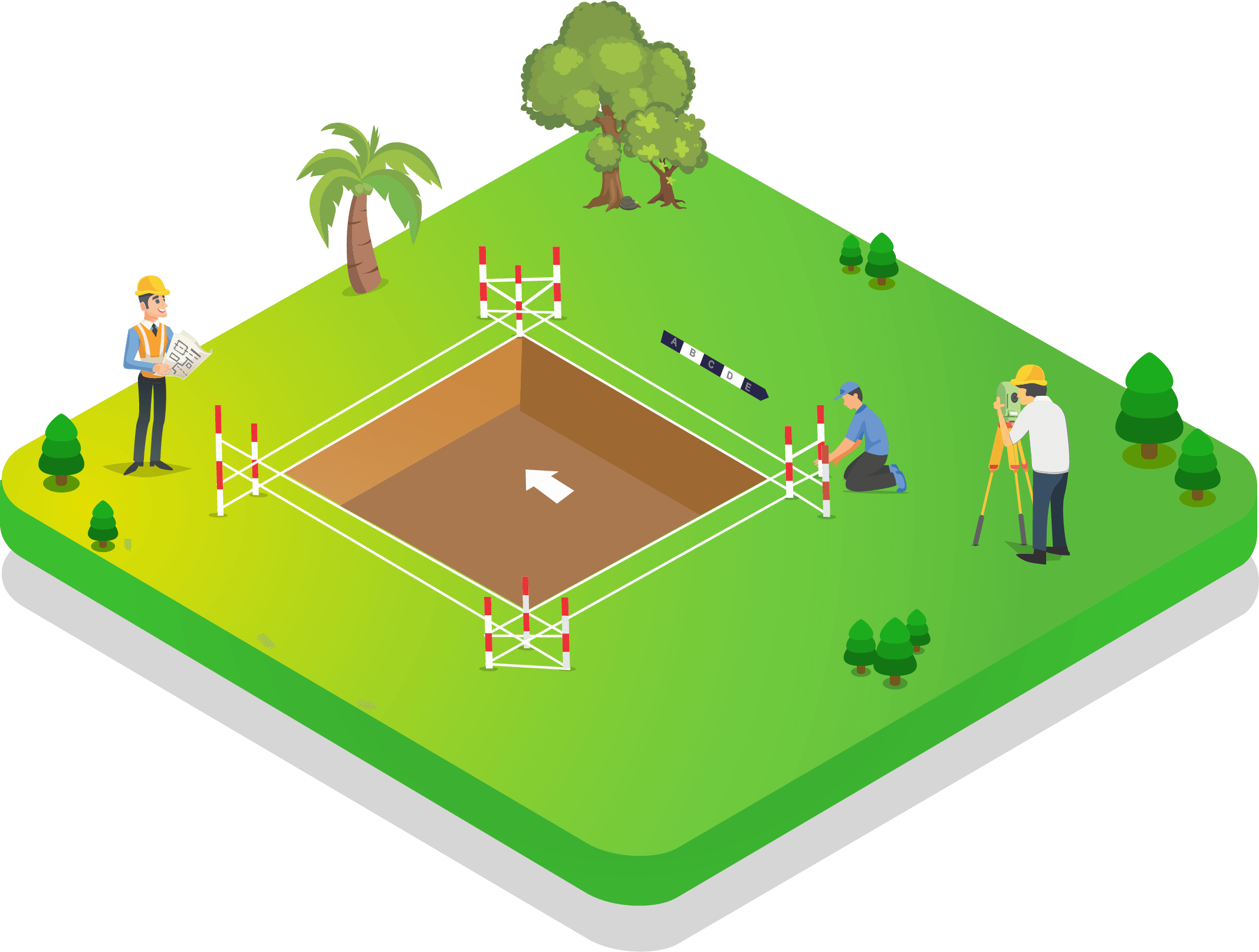
An elevation survey, or levelling survey, determines the vertical distance (height or depth) of a point relative to a known reference datum, such as Mean Sea Level (MSL). It focuses purely on precise vertical measurements using auto levels or digital levels.
Why is it Required?
Accurate elevations are critical to prevent flooding by ensuring building floors are above high-water marks. They are also needed to tie local site levels to national benchmarks for large infrastructure projects like sewer networks and water supply systems.
Key Benefits
Flood Prevention — Accurately determines safe plinth levels
Datum Transfer — Transfers MSL benchmarks from distant locations to the site
Sewer Design — Essential for deep invert level calculations
Request a Quote
Get expert Elevation Survey services.
Get Survey Quote 📞 +91 73977 33223