Overview
What is a Total Station Survey?
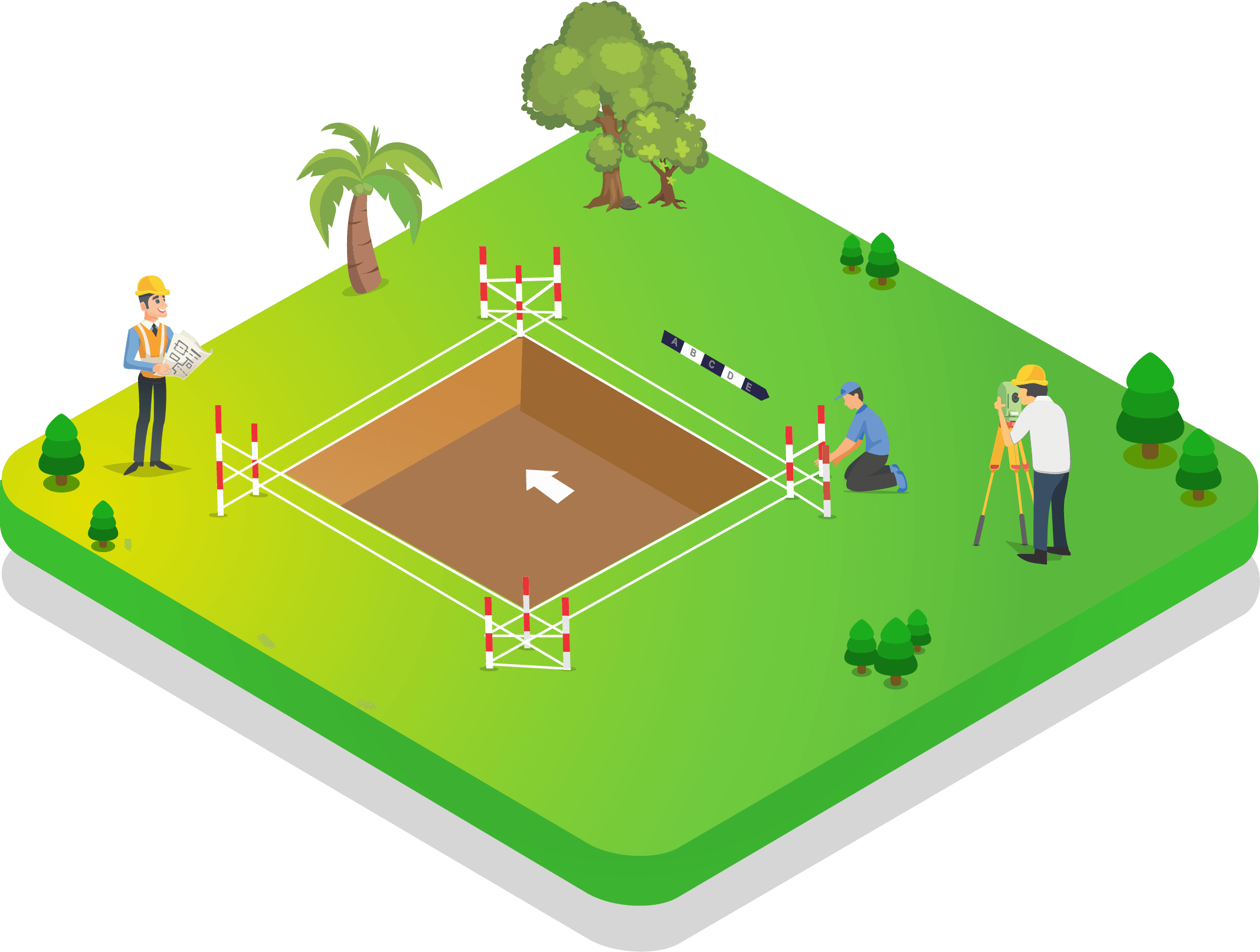
A Total Station is an electronic/optical instrument that combines an electronic theodolite (for measuring angles) with an electronic distance measurement (EDM) device. It can simultaneously measure horizontal and vertical angles and slope distances, computing horizontal distances and elevations. Total Stations are the workhorse instrument of modern field surveying.
Why is it Required?
Total Station surveys offer unmatched precision for all construction setting-out, traversing, topographic detail surveys, and boundary measurements in areas where GPS signals are unavailable or obstructed. They are especially critical for urban construction, underground surveys, and any project requiring millimetre-level accuracy.
Who Needs it?
Civil engineers, construction companies, infrastructure developers, architects, tunnel and underground works contractors, urban building project managers, and any organization requiring extremely precise on-site measurement.
Key Benefits
Our Survey Process
Site Visit
Assessment of the project site, identification of control points and planning of instrument stations.
Data Collection
Setting up Total Station on control stations and systematically measuring all required features.
Survey Execution
Traversing, detail survey, cross-sections, or setting-out as per project requirements.
Analysis
Downloading field data and processing in software to compute coordinates, areas, and drawings.
Report Preparation
Generating survey plans, sections, coordinate lists, and engineering reports.
Client Delivery
Handover of AutoCAD drawings, coordinate data, and certified survey report to client.
Deliverables
Frequently Asked Questions
What is a Total Station instrument?
A Total Station is an electronic survey instrument that simultaneously measures angles and distances to compute coordinates of survey points without manual chaining.
When is a Total Station preferred over GPS?
In urban areas, indoors, under dense canopy cover, or when millimetre accuracy is needed, Total Station is preferred as GPS signals may be blocked or inaccurate.
Can Total Station be used for setting out buildings?
Yes. Total Stations are the primary tool for building setting-out — precisely marking column positions, building corners, and structural reference points on-site.
How accurate is a Total Station?
Professional Total Stations achieve 1-5 mm distance accuracy and 1-5 arc-second angular accuracy, suitable for precision construction and engineering applications.
Can it be used at night?
Yes. Modern robotic Total Stations with laser distance measurement can operate in low light or complete darkness using reflectors and automated target tracking.
Request a Quote
Get expert Total Station Survey services with millimetre precision.
Get Survey Quote 📞 +91 73977 33223