
Manapparai: No 23, Perumal Kovil Vanika valagam | Coimbatore: 1 Cross extn, 100 ft road, Ghandipuram 641012

Digital Survey

High-resolution drone mapping, topographic analysis, and LiDAR solutions.

Digital Survey Overview

Premium Digital Survey Solutions

Our Digital Survey services combine cutting-edge technology with precision engineering. We utilize commercial-grade drones, LiDAR technology, and advanced GIS systems to provide millimeter-accurate data for infrastructure, mining, and architectural projects.

Whether it is a 500-acre solar plant layout or an intricate urban topographical map, our solutions ensure rapid data acquisition and unmatched reliability.
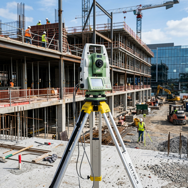
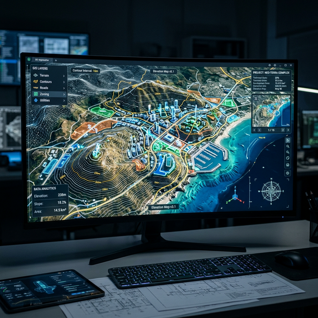
Advanced Capabilities

Drone Mapping

High-speed aerial surveying for massive land areas with ultra-high resolution orthomosaic outputs.

LiDAR Scanning

Precision laser scanning to penetrate vegetation and capture exact bare-earth terrain models.

3D Topography

Comprehensive 3D mesh and point-cloud generation for accurate cut-and-fill volume analysis.

Why Choose NDSE for Digital Surveys?

  • State-of-the-art DGPS & RTK/PPK technology
  • Licensed and highly certified engineers
  • Rapid turnaround times for critical projects
  • Custom GIS data delivery formats (DWG, KML, SHP)

12+

Years Experience

5000+

Projects Delivered

Recent Projects

Request a Survey

Fill out the form below and our engineering team will get back to you with a detailed quote.