Overview
What is a Layout Survey?
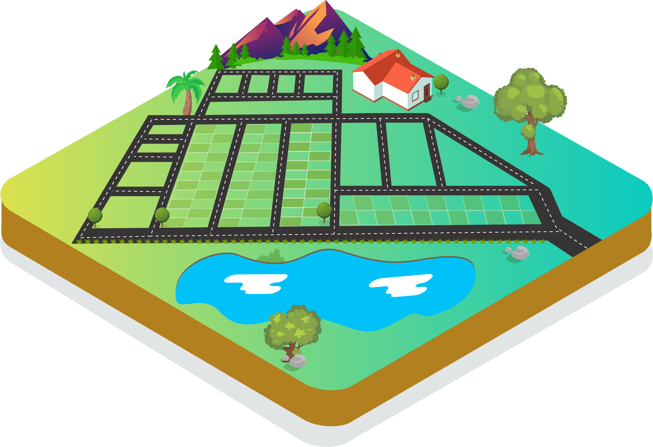
A layout survey is the physical ground-marking of a sub-division or layout plan approved by DTCP or local planning authorities. It involves precisely placing permanent boundary pegs, road edges, plot corners, and open space boundaries on the actual site to match the approved drawing.
Why is it Required?
Without a proper layout survey, plot owners cannot identify their precise boundaries, leading to future encroachment disputes. Layout surveys ensure every buyer receives exactly the area and dimensions indicated in the sale deed, and that roads and open spaces are correctly demarcated per the approved plan.
Who Needs it?
Real estate developers, layout promoters, housing society developers, agricultural land sub-dividers, commercial park developers, and any individual converting agricultural land to residential or commercial use with DTCP approval.
Key Benefits
Our Survey Process
Site Visit
Review of approved layout plan and site visit to assess existing conditions and control points.
Data Collection
Establishment of baseline and reference control framework matching the approved plan datum.
Survey Execution
Marking of all plot corners, road edges, open space boundaries, and drainage lines with permanent pegs.
Analysis
Verification of all measurements against approved plan to confirm zero deviation.
Report Preparation
Preparation of as-laid layout drawing matching the approved plan with all pegged coordinates.
Client Delivery
Handover of layout drawing, coordinate list, peg book, and field verification certificate.
Deliverables
Frequently Asked Questions
What is a Layout Survey?
A layout survey physically marks all plot boundaries, roads, and open spaces on the ground as per the DTCP-approved layout plan using permanent iron pegs.
Is a layout survey mandatory?
Yes. DTCP conditions for layout approval require the developer to physically demarcate all boundaries before selling plots or issuing patta to buyers.
How long does a layout survey take?
A 50-plot layout typically takes 2-3 days for complete marking, depending on plot sizes and terrain difficulty.
Do you provide individual plot sketches?
Yes. We provide individual plot sketches with dimensions, boundaries, and GPS coordinates for each plot in the layout.
Can you survey very large layouts?
Yes. We have handled layouts from 10 plots to 2000+ plots with teams and Total Station/GPS instruments for rapid, accurate marking.
Request a Quote
Get expert Layout Survey services for your development project.
Get Survey Quote 📞 +91 73977 33223