Overview
What is a Boundary Survey?
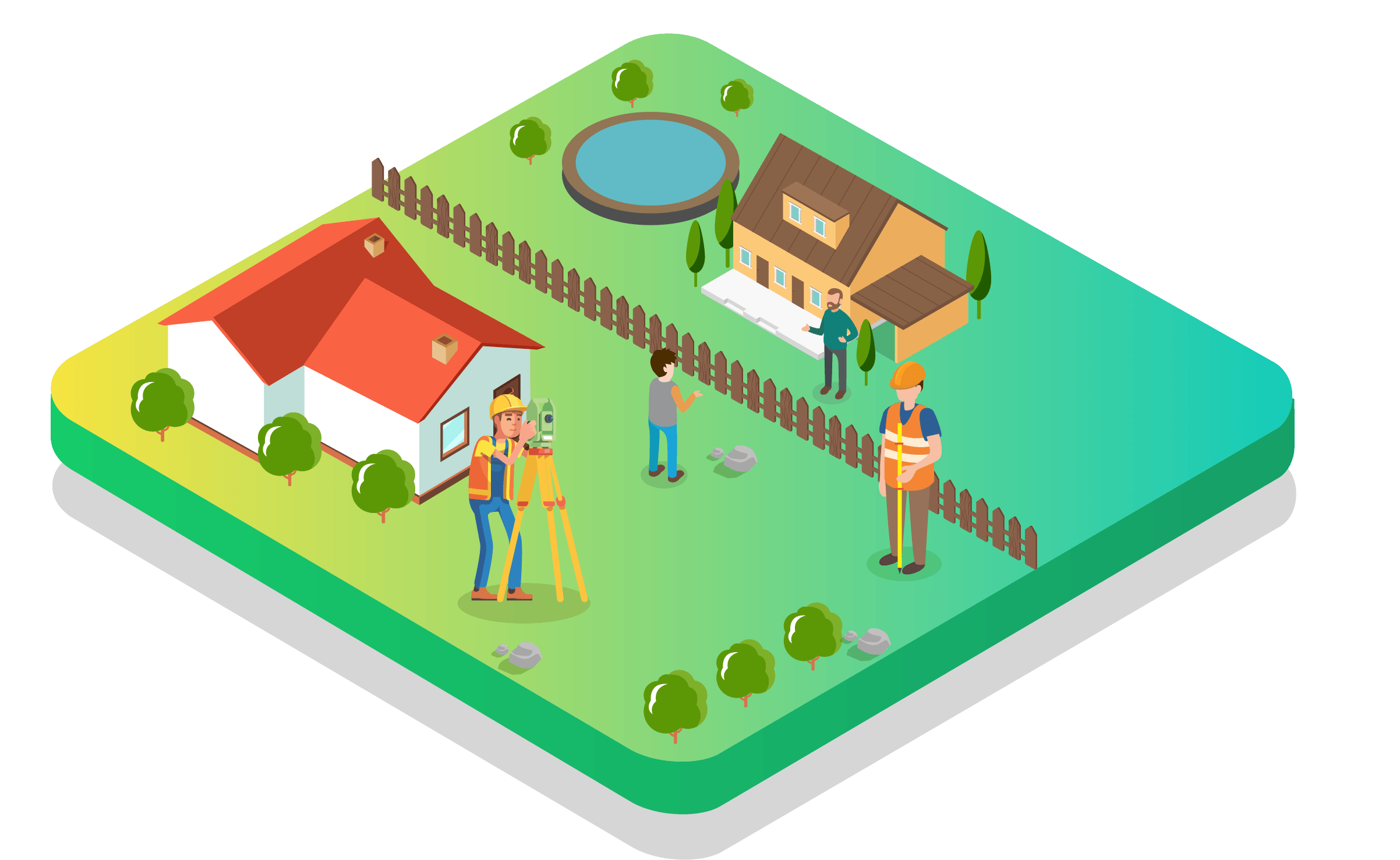
A boundary survey is the precise field determination of the legal property lines of a parcel of land. It identifies, locates, and physically marks the corners and boundary lines of land ownership, resolving ambiguities in historical records and on-ground features.
Why is it Required?
Without defined boundaries, property ownership is perpetually at risk. Boundary surveys are essential before constructing walls, fences, or buildings near property edges. They are also required for legal registration, court submissions, and before any real estate transaction to prevent future encroachment disputes.
Who Needs it?
Individual land owners, housing societies, residential builders, commercial developers, government departments, and any organization acquiring or improving property where boundary clarity is required.
Key Benefits
Our Survey Process
Site Visit
Initial visit to assess the property, collect revenue records, and identify existing boundary markers.
Data Collection
Collection of field measurements using Total Station, GPS, and reference to official survey records.
Survey Execution
Physical measurement and marking of all boundary corners with permanent monuments.
Analysis
Cross-referencing field measurements with revenue sketch and legal documents to confirm boundary accuracy.
Report Preparation
Preparation of certified boundary drawing with coordinates, dimensions, and reference bearings.
Client Delivery
Handover of certified boundary drawing, coordinate data, and field report to the client.
Deliverables
Frequently Asked Questions
What is a Boundary Survey?
A boundary survey accurately locates and marks the legal boundaries of a property using field measurements and official records.
When is a Boundary Survey required?
It is needed before buying or selling land, constructing a fence or wall, resolving neighbour disputes, or applying for building permits.
How are boundaries physically marked?
We place permanent iron rods, concrete pillars, or GPS-verified monuments at all boundary corners after precise measurement.
Can the survey resolve encroachment issues?
Yes. A certified boundary survey with legal coordinates provides evidence accepted by courts and revenue departments to resolve encroachment disputes.
How long does a Boundary Survey take?
Most boundary surveys are completed within 1-2 days in the field, with reports delivered within 3-5 working days.
Request a Quote
Get expert Boundary Survey services with fast turnaround and certified deliverables.
Get Survey Quote 📞 +91 73977 33223